 3,575.44
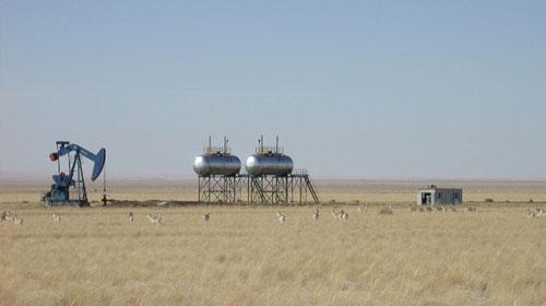 Wolf Petroleum’s (ASX: WOF) geophysical survey at its Sukhbaatar Block in Mongolia has indicated that the oil generative sediment pile is up to 9,600 metres thick, the largest and thickest in Eastern Mongolia.
This is up from the previous estimate of 4,000 metres and has led the company to suggest that the sub basins at Sukhbaatar are a potential main petroleum generation source in the region.
The average depth of current producing basins in Eastern Mongolia, a proven petroleum producing region, ranges from 2,000 to 3,000 metres.
Wolf has completed preparation works to shoot 441 kilometres of 2D data on Sukhbaatar and has received the necessary approvals from both the Petroleum Authority of Mongolia and the regional administrations.
In addition, the company plans to collect more than 7,350 new samples from all the shot holes for the seismic program at a target depth of 15 metres and analyse every eight shot hole, or about 920 samples.
The first exploration well is currently scheduled to spud towards the end of 2013.
Sukhbaatar covers an area of 23,047 square kilometres of which more than 60% of the surface outcrops are Cretaceous in age and have a high potential for source reservoir rocks.
Wolf had previously noted that all four sub-basins within the block had have areas of high heat flow, which can enhance hydrocarbon cracking and migration, while alteration minerals commonly found near petroleum seep areas have also been identified.


